Stratigraphy.Chronostratigraphy
Type of resources
Available actions
Topics
Keywords
Contact for the resource
Provided by
Representation types
Update frequencies
status
Scale
-

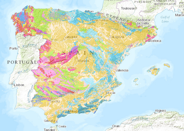
The Lithological Map of the Iberian Peninsula, Balearic and Canary Islands at a scale of 1:1,000,000 is a map produced by the Geological Survey of Spain (IGME) based on the Geological Map of the Iberian Peninsula, Balearic and Canary Islands published in 1995. The cartographic units represented in it have been established using lithological criteria, with the lithological association defining the limits of each unit. The geological information on the Iberian Peninsula and the Balearic Islands is in UTM projection, zone 30, Postdam datum. The information for the Canary Islands is in UTM projection, zone 28, datum Pico de las Nieves. The map is distributed free of charge in shape format through the IGME website.
-

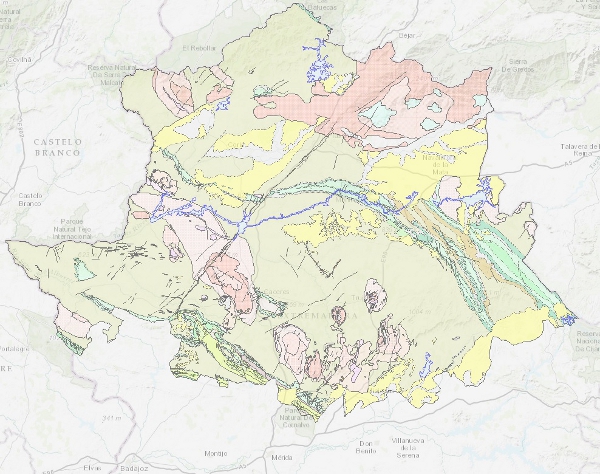
Map with the chronolithostratigraphic and igneous units of the province of Cáceres grouped together as a support for the mapping of mineral resources in the province. The contacts between the different cartographic units have been classified as "stratigraphic contact" and "intrusive contact". The tectonic structure is expressed by faults.
-

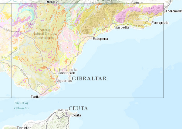
This Map depicts the materials or rocks that appear on the surface of the sheet, their spatial distribution, nature and geometric relationships. The cartographic units are chronostratigraphic groupings, with common lithology and age formed by strata which are called formations, groups or members; other non-stratified ones such as granites are represented. The structural relationships between them are expressed by symbols, which gives the map a three-dimensional character completed by additional geological profiles. These are the graphic expression of the deep geometrical arrangement of the units shown on the geological map. Applied information such as water points, mineral deposits and indications, presence of fossils and other elements of point representation are added by means of symbology. The printed sheets include geological sections, columns of the main zones or units and various diagrams (regional geological and tectonic diagrams, both at a scale of 1:1,000,000). The nominal scale of the series is 1:200,000, but in the island territories it has been produced at a scale of 1:100,000. The digital information, geological map 1:200,000, chronolithostratigraphic legend and legend of geological symbols, is stored in coverage format (ESRI). There is a guide reflecting its organisation and codification. The IGME is responsible for the execution of this series of cartography, which it finances with its own resources. The creation of this cartography is based on the compilation of existing information, mainly MAGA cartography at a scale of 1:50,000, doctoral theses and other research work.
-

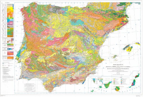
The Geological Map of the Iberian Peninsula, Balearic and Canary Islands or Geological Map of Spain at a scale of 1:1,000,000 is a map developed by the Geological Survey of Spain (IGME) on a cyclical basis since its foundation, being the 1995 version the first to be digitised. This map is an infrastructure of homogeneous and global geological knowledge of a geological unit of continental scale such as the Iberian Peninsula. The map contains the chronolithostratigraphic units with representation of the tectonic structure by means of faults and thrusts. It is also accompanied by two chronolithostratigraphic legends (Peninsula and Balearic and Canary Islands) and the conventional signs. Each of the geological units has an associated description, the dominant rock types and the chronostratigraphic age with precision down to the Flo, when available. There is no difference between the contacts of the map units, all of them being considered as lithological contacts, with the exception of those that are the product of faults. The map is consistent with a topographic base at a scale of 1:1,000,000 prior to the BCN 1000 of the IGN, which is only available in paper format. The geological information on the Iberian Peninsula and the Balearic Islands is in UTM projection, zone 30, Postdam datum. The information on the Canary Islands is in UTM projection, zone 28, datum Pico de las Nieves. The map is distributed free of charge in shape format through the IGME website.
 Catalogo de metadatos del IGME