Mineral resources
Type of resources
Available actions
Topics
Keywords
Contact for the resource
Provided by
Years
Formats
Representation types
Update frequencies
status
Service types
Scale
-

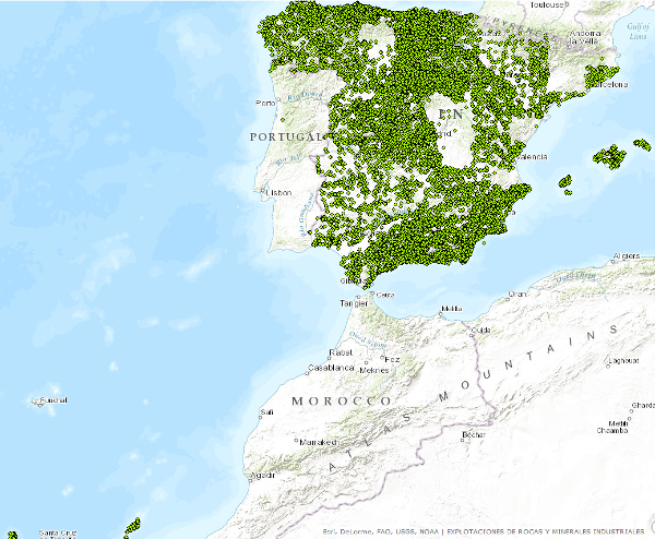
WFS service provides access to basic information related to the mining operations (both abandoned or operating continuously or intermittently) and minerals occurrences of industrial minerals and rocks. Service was created in the framework of the Minerals4EU project and its harmonizated according to the INSPIRE requeriments-
-

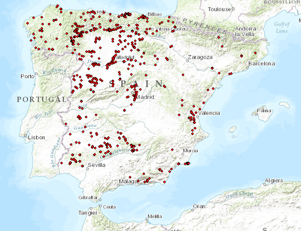
Database of sterile deposits and coarse materials poured dry (mine tailings) that originate in the mines and quarries. Contains the National Inventory of Mining Tailings and Structures of Mixed Type with information related to physical and geological characteristics, type of mining, impact on the environment, possibility of exploitation, etc. This information has been obtained through the completion of the National Inventory of Mining Ponds and Minig Tainlings from the IGME from 1983 to 1989. It is a georeferenced factual database managed with SQL Server.
-

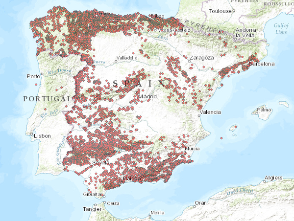
Bdmin (Metallogeny) contains information on mineral deposits and indications, both metallic and non-metallic. Until 2006, this information was stored in paper files or in old databases such as the metallogeny databases (Metagen I and Metagen II). It is national in scope. The information is structured in different sections: General Data, Geological Data, Metallogenic Data, Mining Data and Additional Data. The storage format is SQLServer. It is publicly accessible, except for some of the data contained in the database, such as the fields relating to mining data and additional data.
-

Bdmin (RandMI) contains the information related to the mines (abandoned, intermittent or active) and traces of industrial rocks and minerals. These data have been generated by IGME through numerous projects from the early 1970s to the present day. It is national in scope. The information is structured in different sections: Identification, location, mining domain, mining-I (technical parameters), mining-II (socio-economic and commercial parameters), geology and complementary information. The storage format is SQLServer. It is publicly accessible, except for some of the data contained in the database, which are of restricted access, such as the owner and operator of the mining domain, the operator, as well as their addresses and contact telephone numbers, data on reserves, productions and marketing prices of the final product.
-

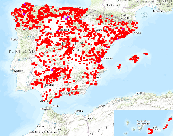
Updating of the National Inventory of Sludge Deposits in the treatment process of extractive industries that was carried out in 2002. The reference systems offered by this service are: CRS: 84, EPSG: 4326, EPSG: 4258, EPSG: 4230, EPSG: 23028, EPSG: 23029, EPSG: 23030, EPSG: 23031, EPSG: 25828, EPSG: 25829, EPSG: 25830, EPSG: 25831..
-

The service consists of two layers of dots symbolising the position of mineral occurrences for the entire national territory. Depending on the scale of visualisation, two layers of information have been created. Indications I: Only the location of the points is represented. Visible from scales smaller than 1:200.000. Indications II: The points are represented with a symbolisation according to different attributes. Visible from scales larger than 1:200,000. The reference systems offered by this service are:CRS:84, EPSG:4326, EPSG:4258, EPSG:4230, EPSG:23028, EPSG:23029, EPSG:23030, EPSG:23031, EPSG:25828, EPSG:25829, EPSG:25830, EPSG:25831
-

Database of sterile deposits from mining washers. It also contains alphanumeric information of the different registers, documentary information (photographs, sketches and situation maps). This information is of national scope and has been generated thanks to the agreement "Update of the National Inventory of Mining Sterile Bodies" signed by the IGME and the General Directorate of Mines (MINER) in 1999. Information contained in the "Inventory" has also been used. in the "National Inventory of Mine Waste Ponds and Mining Tailings" carried out by the IGME between 1983 and 1989. It is a georeferenced documentary database managed with SQL Server, available online at http://info.igme.es/balsas
-

Points that symbolize the position of the indications or exploitations of Rocks and Industrial Minerals for all the national territory. Depending on the scale of visualization, two layers of points have been created. Exploitations I: represents only the location of the points. Visible from scales smaller than 1:200.000.Exploitations II: represents the location of the points with a symbolization according to different attributes. Visible from scales greater than 1:200,000. The reference systems offered by this service are: CRS:84, EPSG:4326, EPSG:4258, EPSG:4230, EPSG:23028, EPSG:23029, EPSG:23030, EPSG:23031, EPSG:25828, EPSG:25829, EPSG:25830, EPSG:25831. Puntos que simbolizan la posición de los indicios o explotaciones de Rocas y Minerales Industriales para todo el territorio nacional. En función de la escala de visualización se ha creado dos capas de puntos. Explotaciones I: representa tan sólo la localización de los puntos. Visible a partir de escalas menores de 1:200.000.Explotaciones II: representa la localización de los puntos con una simbolización en función de distintos atributos. Visible a partir de escalas mayores de 1:200.000.. Los sistemas de referencia que ofrece este servicio son:CRS:84, EPSG:4326, EPSG:4258, EPSG:4230, EPSG:23028, EPSG:23029, EPSG:23030, EPSG:23031, EPSG:25828, EPSG:25829, EPSG:25830, EPSG:25831..
 Catalogo de metadatos del IGME