Manganese
Type of resources
Available actions
Topics
Provided by
Years
Formats
Representation types
Update frequencies
status
Service types
Scale
-

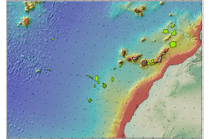
Cartografía de depósitos de costras de hierro-manganeso en la que se describe la caracterización mineralógica, datos metalogenéticos y localización, entre otros elementos.
-

Cartography of polymetallic nodules deposits in which the mineralogical characterization, metallogenetic data and location are described, among other elements.
-

Visualisation service of the Map of Manganese (Mn) isocontents, one of the chemical elements obtained in the Geochemical Atlas of Spain Project, distributed in stream sediments (14,864 samples), superficial soils (0-20 cm.) (13,505 samples) and deeper soils (20-40 cm.) (7,682 samples).
-

Iso-content maps of Manganese (Mn), one of the chemical elements.obtained in the Geochemical Atlas of Spain Project, distributed in stream sediments (14,864 samples), superficial soils (0-20 cm.) (13,505 samples) and deeper soils (20-40 cm.) (7,682 samples). The results of the chemical analysis are shown in two types: total dissolution of the sample with 4 acids and partial dissolution with aqua regia. With the analytical results of all the sampled points, an isocontent map is made with adjustment to a square grid of 1,000 m by the method of interpolation of the inverse of the squared distance. The final result is a map for each type of sample and type of analysis carried out.
 Catalogo de metadatos del IGME