 Catalogo de metadatos del IGME
Landslide
Type of resources
Available actions
Topics
Provided by
Representation types
Update frequencies
status
Service types
Scale
-
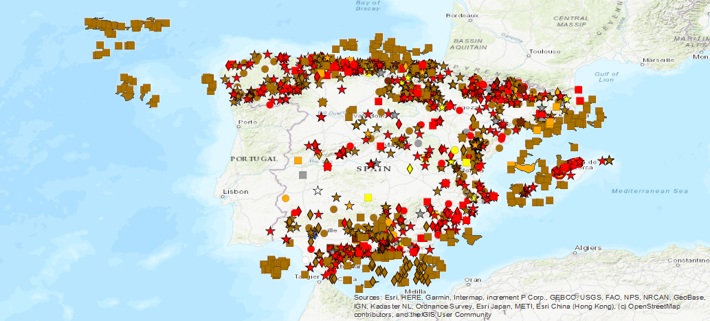
Spanish national inventory of land movements. Includes land movements of gravitational geological origin affecting Spanish territory, such as landslide movements: landslides, landslides, flows, etc., vertical movements: subsidies, collapses, expansiveness and underwater landslides. It does not include movements of tectonic origin such as those produced by earthquakes or continental drift or of volcanic origin. BD-MOVES is structured in two blocks or sets of georeferenced spatial information: the one referring to the description of the intrinsic and relatively invariable characteristics of the movement of the terrain and the one referring to the different activity events that produced these movements, including morphometry, triggering factors and damages, among other data.
-
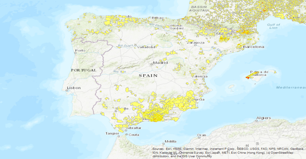
The first layer is a Landslide density map (LANDEN). The second layer is an average landslide density for each administrative area. A detailed explanation of these layers can be found in: Herrera, G., Mateos, R. M., García-Davalillo, J. C., Grandjean, G., Poyiadji, E., Maftei, R., ... and Trigila, A. (2017). Landslide databases in the Geological Surveys of Europe. Landslides, 1-21.https://doi.org/10.1007/s10346-017-0902-z.
-
Visualisation service of the EGS Landslide Density Database Map. The first layer is a Landslide density map (LANDEN). The second layer is an average landslide density for each administrative area. A detailed explanation of these layers can be found in: Herrera, G., Mateos, R. M., García-Davalillo, J. C., Grandjean, G., Poyiadji, E., Maftei, R., ... and Trigila, A. (2017). Landslide databases in the Geological Surveys of Europe. Landslides, 1-21.https://doi.org/10.1007/s10346-017-0902-z.