Hydrology, Hydrogeology.aquifer
Type of resources
Available actions
Topics
Keywords
Contact for the resource
Provided by
Representation types
Update frequencies
status
Scale
-

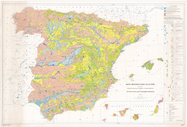
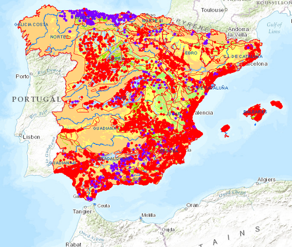
The Hydrogeological Map of Spain at a scale of 1:1,000,000 presents the geological units classified according to their hydrogeological character, based on the surface permeability of the outcrops. The hydrogeology is represented by symbolisation of the materials. It is a synthesis of the permeable hydrogeological formations and aquifers at national level, resulting from the systematic studies carried out by the IGME until 1991 on the hydrogeological characteristics of the territory of Spain, determining the location of the aquifers, evaluating their degree of exploitation, hydrodynamic characteristics, resources and reserves, and the quality and contamination of their waters. The map has been drawn up by the Geological and Mining Institute of Spain in compliance with its specific functions. It covers the national territory of the Iberian Peninsula, the Balearic Islands and the Canary Islands. The first edition of the Hydrogeological Map of Spain at a scale of 1:1,000,000 corresponds to 1991. A second edition was produced in 1999, incorporating the Hydrogeological Units of Spain into the hydrogeological map.
-

The Permeability Map of Spain at a scale of 1:1,000,000 is the Hydrogeological Map of Spain at a scale of 1:1,000,000, classified according to permeability. Permeability is represented by colours, while lithostratigraphy or hydrogeology is represented by symbolisation of the materials. It is a synthesis of the permeable hydrogeological formations and aquifers at national level, resulting from the systematic studies carried out by the IGME until 1991 on the hydrogeological characteristics of the territory of Spain, determining the location of the aquifers, evaluating their degree of exploitation, hydrodynamic characteristics, resources and reserves, and the quality and contamination of their waters. The map has been drawn up by the Geological Survey of Spain in compliance with its specific functions. It covers the national territory of the Iberian Peninsula, the Balearic Islands and the Canary Islands. The first edition of the Hydrogeological Map of Spain at a scale of 1:1,000,000 corresponds to 1991. A second edition was produced in 1999, incorporating the Hydrogeological Units of Spain into the hydrogeological map.
 Catalogo de metadatos del IGME