Geographic information/model management service
Type of resources
Available actions
Keywords
Contact for the resource
Provided by
status
Service types
-
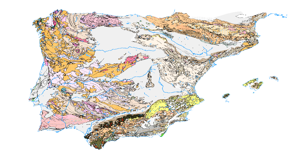
Visualisation service of the Tectonic Map in Spain at a scale of 1:1,000,000, of the Iberian Peninsula and Balearic Islands that identifies the major structural elements of the Earth's crust, and records the Earth's dynamism in the past.
-
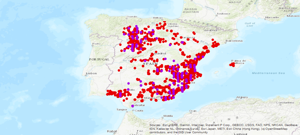
Service of visualization of the historical inventory of the drillings carried out for the research of the different aquifers of Spain, result of the collaboration between the Geological and Mining Institute of Spain (IGME), with the National Institute of Reform and Agrarian Development (IRYDA), formerly National Institute of Colonization (INC)
-
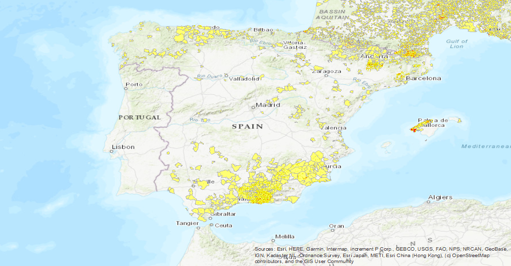
Visualisation service of the EGS Landslide Density Database Map. The first layer is a Landslide density map (LANDEN). The second layer is an average landslide density for each administrative area. A detailed explanation of these layers can be found in: Herrera, G., Mateos, R. M., García-Davalillo, J. C., Grandjean, G., Poyiadji, E., Maftei, R., ... and Trigila, A. (2017). Landslide databases in the Geological Surveys of Europe. Landslides, 1-21.https://doi.org/10.1007/s10346-017-0902-z.
-
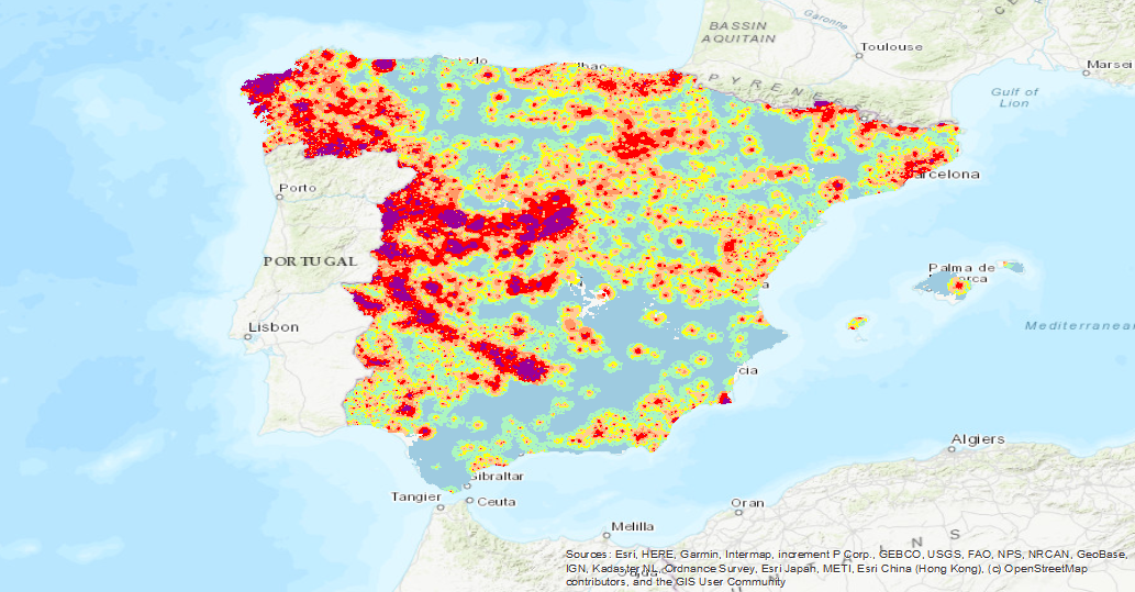
Visualisation service of the Map of Tungsten (W) isocontents, one of the chemical elements obtained in the Geochemical Atlas of Spain Project, distributed in stream sediments (14,864 samples), superficial soils (0-20 cm.) (13,505 samples) and deeper soils (20-40 cm.) (7,682 samples).
-
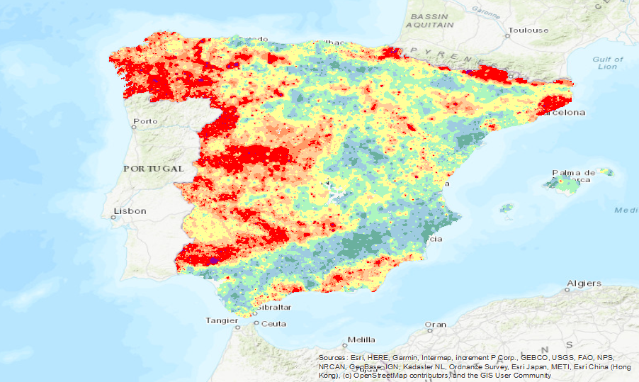
Visualisation service of the Map of Aluminium (Al) isocontents, one of the chemical elements obtained in the Geochemical Atlas of Spain Project, distributed in stream sediments (14,864 samples), superficial soils (0-20 cm.) (13,505 samples) and deeper soils (20-40 cm.) (7,682 samples).
-
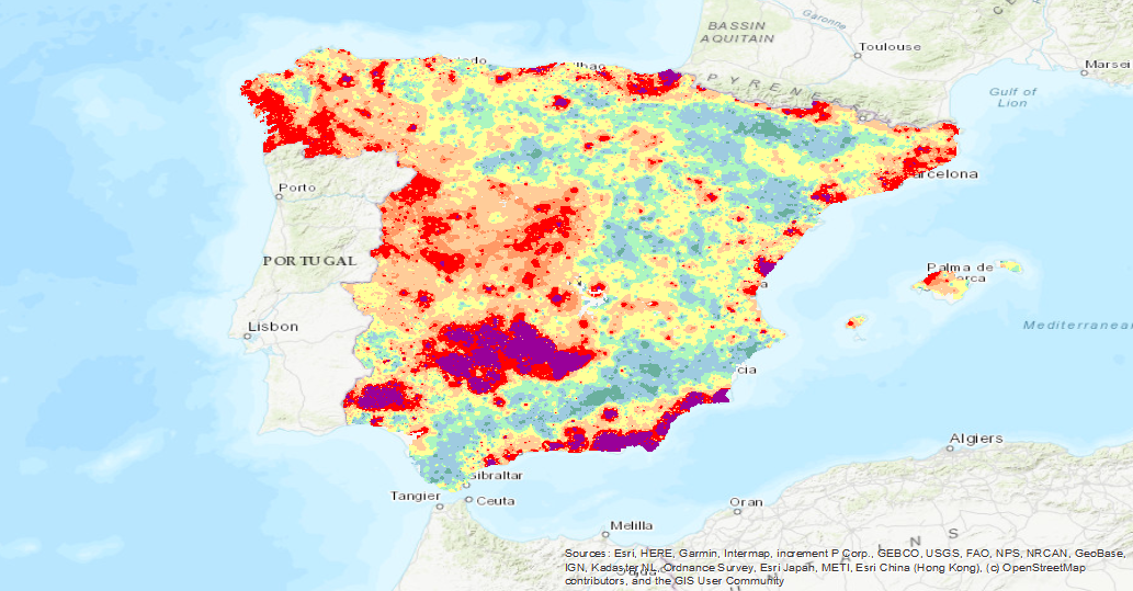
Visualisation service of the Map of Lead (Pb) isocontents, one of the chemical elements obtained in the Geochemical Atlas of Spain Project, distributed in stream sediments (14,864 samples), superficial soils (0-20 cm.) (13,505 samples) and deeper soils (20-40 cm.) (7,682 samples).
-
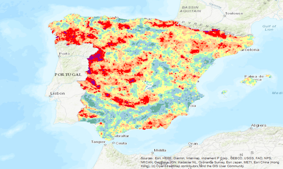
Visualisation service of the Map of Lithium (Li) isocontents, one of the chemical elements obtained in the Geochemical Atlas of Spain Project, distributed in stream sediments (14,864 samples), superficial soils (0-20 cm.) (13,505 samples) and deeper soils (20-40 cm.) (7,682 samples).
-
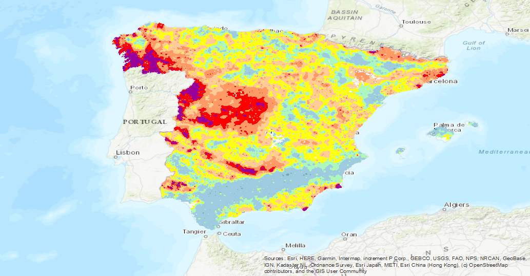
Visualisation service of the Map of Thallium (Tl isocontents, one of the chemical elements obtained in the Geochemical Atlas of Spain Project, distributed in stream sediments (14,864 samples), superficial soils (0-20 cm.) (13,505 samples) and deeper soils (20-40 cm.) (7,682 samples).
-
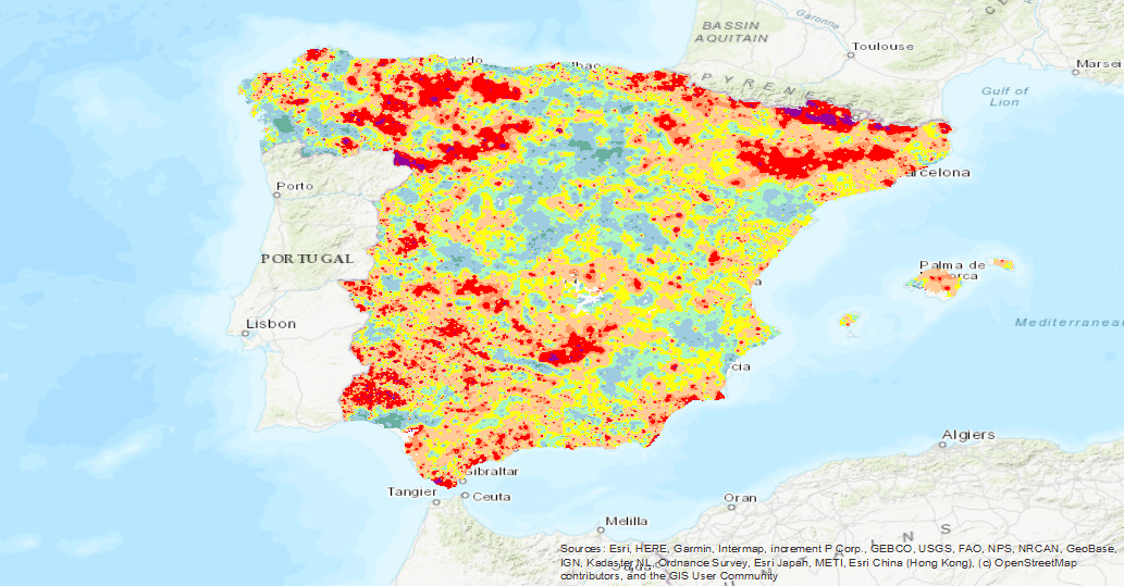
Visualisation service of the Map of Vanadium (Va) isocontents, one of the chemical elements obtained in the Geochemical Atlas of Spain Project, distributed in stream sediments (14,864 samples), superficial soils (0-20 cm.) (13,505 samples) and deeper soils (20-40 cm.) (7,682 samples).
-
Visualisation service (WMS) of the Map of Praseodymium Isovalues (Geochemical Atlas of Spain, 2012).
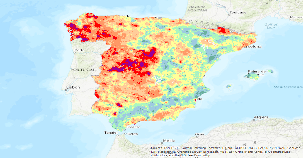
Visualisation service of the Map of Praseodymium (Pr) isocontents, one of the chemical elements obtained in the Geochemical Atlas of Spain Project, distributed in stream sediments (14,864 samples), superficial soils (0-20 cm.) (13,505 samples) and deeper soils (20-40 cm.) (7,682 samples).
 Catalogo de metadatos del IGME