 Catalogo de metadatos del IGME
EGDI-selection
Type of resources
Available actions
Topics
Keywords
Contact for the resource
Provided by
Years
Formats
Representation types
Update frequencies
status
Service types
Scale
-
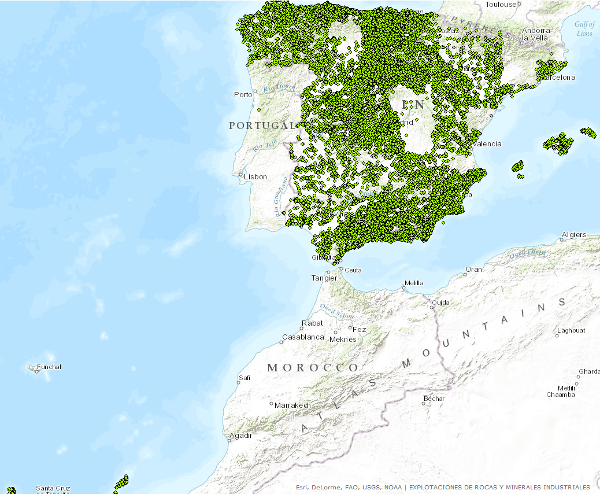
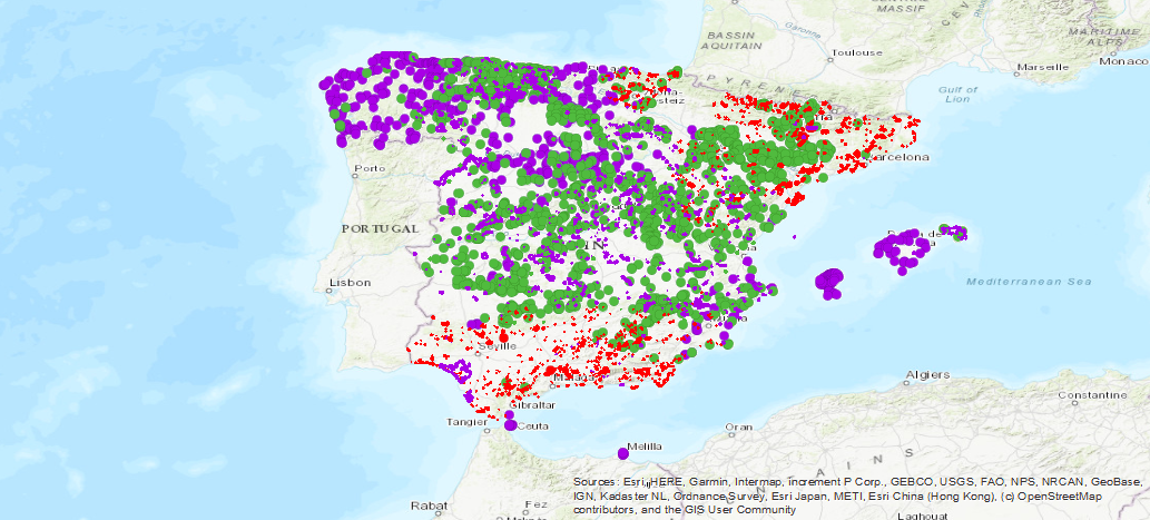
WFS service provides access to basic information related to the mining operations (both abandoned or operating continuously or intermittently) and minerals occurrences of industrial minerals and rocks. Service was created in the framework of the Minerals4EU project and its harmonizated according to the INSPIRE requeriments-
-

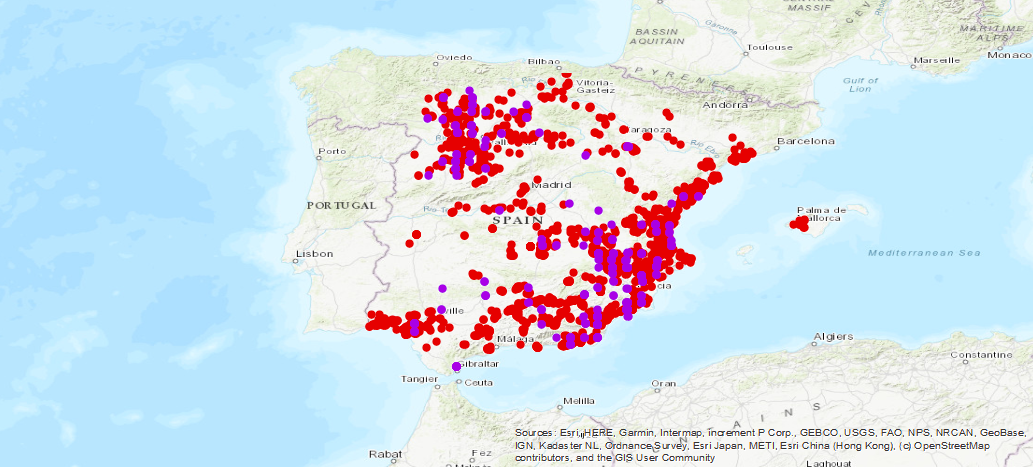
Dataset contains information related to the mining operations (both abandoned or operating continuously or intermittently) and minerals occurrences of industrial minerals and rocks. These data have been generated by the IGME along numerous projects since the early 70s to the present. It has national coverage.
-
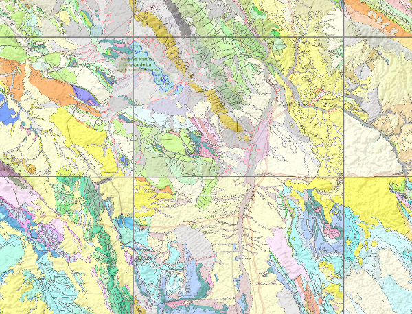
The National Geological Map (MAGNA), was made between 1972 and 2003 by the Geological Survey of Spain. It is distributed in sheets 1: 50.000 (1: 25.000 in particular cases of the Canary Islands, Ibiza-Formentera, Menorca, Ceuta and Melilla). The geological map shows the nature of materials (rocks and sediments) that appear on the surface, their spatial distribution and geometric relationships between the different cartographic units represented. A geological mapping unit is the grouping of one or more lithologies with common age range, which is represented on the map at a scale or defined resolution. Each mapping unit, and the different geological structures, is represented on the map with a symbolism itself. The representation of these units on the topographic base map provides some three-dimensional information that is completed with other geological data and geological sections, stratigraphic profiles, polls, etc. The map legend is a pictogram representing the spatial relationship of the different mapping units (chronology, overlapping, geometric relationship, lateral facies changes, etc.). It also includes structural, hydrogeological and geological location of the sheet within the regional schemes. Since 1991, the Geological Map Series MAGNA is made inseparably with the geomorphological map on the same scale. This map incorporates everything on the surface geology and provides a structured and accurate information of the land forms. It is organized on the basis of morphogenesis and morphocronology incorporated the map using the corresponding chronostratigraphic column included in a table / legend inspired by the geological map. The forms, erosional and depositional, are represented on the map by individualized by symbols and patterns of color and surface deposits or lithological formations elements that provide information. For each sheet of the series MAGNA there is an explanatory report published, edited and in digital format. The digital information is stored in coverage and Shape format (ESRI). There is a guide that describes the physical structure of the digital information and its codification.
-
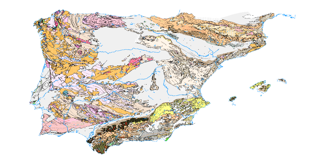
The Tectonic Map of the Iberian Peninsula and Balearic Islands has been made according to the guidelines given by the elaboration of the International Tectonic Map of Europe in the 1960s. The principles of representation adopted in this map have a double purpose: to differentiate the major structural elements of the earth's crust, and to record the earth's dynamics in the past. Map of the geographical distribution of the large structural units of the Iberian Peninsula and the Balearic Islands classified into two large groups: platform areas and orogens, from which three units have been derived: Hercynian Mountains, Alpine Mountains and Platform, Mesozoic and Tertiary areas. The cartographic units represented have been delimited based on their temporal relationships with the age of deformation, in the case of the Cordilleras. The structural relations between the units are reflected by the trace of the large folding structures and the faults. The different degrees of metamorphism to which the different rock groups have been subjected are also included.
-
The first layer is a Landslide density map (LANDEN). The second layer is an average landslide density for each administrative area. A detailed explanation of these layers can be found in: Herrera, G., Mateos, R. M., García-Davalillo, J. C., Grandjean, G., Poyiadji, E., Maftei, R., ... and Trigila, A. (2017). Landslide databases in the Geological Surveys of Europe. Landslides, 1-21.https://doi.org/10.1007/s10346-017-0902-z.
-
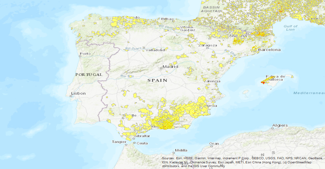
Historical data of the surveys carried out for the investigation of the different aquifers of Spain, the result of the collaboration between the Geological and Mining Institute of Spain (IGME), with the National Institute of Agrarian Reform and Development (IRYDA), before the National Institute of Colonization (INC). The surveys were conducted mainly between 1950 and 1990
-
Database of the Spanish Inventory of Places of Geological Interest (IELIG) which, in accordance with Law 42/2007, must be drawn up and updated by the Ministry of Agriculture, Food and the Environment, with the collaboration of the Autonomous Communities and scientific institutions. Royal Decree 1274/2011, entrusts the IGME with the completion of this inventory, without prejudice to the actions that the Autonomous Communities, in the use of their powers, carry out to complete it in their respective territories. Includes LIGs from the former IGME national inventory (developed basically between 1978 and 1988) and MAGNA geological mapping projects, plus sites that come from the IGME inventory carried out with the methodology designed for the IELIG but which have not been collected by the official autonomous inventories.
-
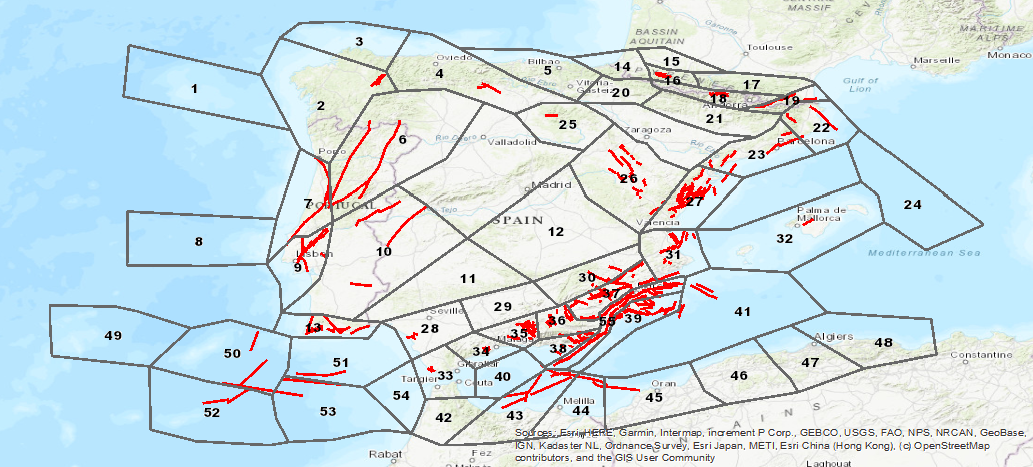
ZESIS is a database of seismogenic zones of the Iberian Peninsula and territories of influence developed for the calculation of the update of the seismic hazard map of Spain (IGN-UPM, 2013). ZESIS is the result of the evolution of three successive models in which numerous researchers from national and international research centres have collaborated, and of the synergy of the FASEGEO (CGL2009-09726), SHARE (FP7-226967), IBERFAULT (CGL2009-07388), OPPEL (IGN-UPM) and SISMOGEN (IGME) projects
-
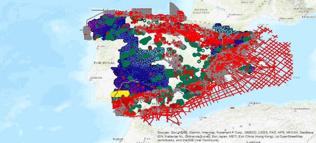
Geophysical database available in the IGME corresponding to the following methodologies: Electrical (SEV, SEDT and Electrical Profiles), Testification, Gravimetry, Petrophysics, Airborne (flight lines and meshes), Electomagnetic (MT) and Seismic (seismic lines and sections seismic, TIF and SEG-Y).