Canary Islands
Type of resources
Available actions
Topics
Keywords
Contact for the resource
Provided by
Representation types
Update frequencies
status
Service types
Scale
-

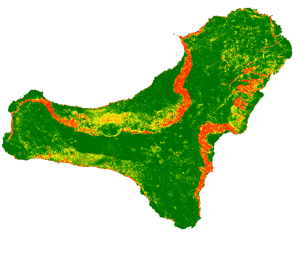
The map shows a probabilistic identification of rockfall source areas for El Hierro Island, prepared with the combination of multiple statistical models. To run the models, we have used observed source areas as dependent variable and a set of thematic information as independent variables (e.g., morphometric parameters derived from the DTM, lithological information that considers the mechanical behaviour of the rocks).
-

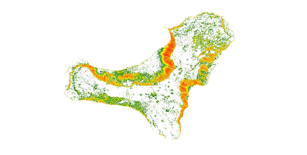
The map show the number of trajectories that pass through each pixel.
-

Cartography of phosphorite deposits in which the mineralogical characterization, metallogenetic data and location are described, among other elements.
-

Cartography of ferromanganese crusts deposits in which the mineralogical characterization, metallogenetic data and location are described, among other elements.
-

Cartography of olymetallic sulphides deposits in which the mineralogical characterization, metallogenetic data and location are described, among other elements.
-

The map shows a probabilistic identification of rockfall source areas for El Hierro Island, prepared with the combination of multiple statistical models
-

The map show the number of trajectories that pass through each pixel.
 Catalogo de metadatos del IGME