Andalusia
Type of resources
Available actions
Topics
Provided by
Formats
Representation types
Update frequencies
status
Service types
Scale
-

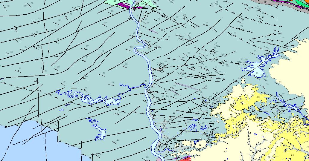
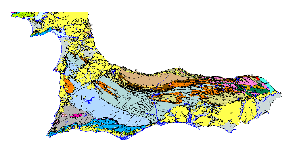
Mapa geológico da Zona Sul de Portugal numa escala de 1/200.000, em que a lenda geológica de ambos os lados da fronteira foi harmonizada com critérios unificados entre Espanha e Portugal. Esta cartografia é um produto do projecto GEO_FPI: Observatório transfronteiriço para a exploração geoeconómica do Cinturão Pírita Ibérico, co-financiado por fundos FEDER através do programa de cooperação territorial INTERREG POCTEP 2014-2020. O principal beneficiário do projecto é o Instituto Geológico e Mineiro de Espanha (IGME), e a parceria deste projecto inclui a Direcção Geral da Indústria, Energia e Minas do Ministério das Finanças, Indústria e Energia do Governo Andaluz (DGIEM), o Laboratório Nacional de Energia e Geologia, I.P. (LNEG) e a Câmara Municipal de Aljustrel (CMA).
-

Mapa geológico da Zona Sul de Portugal numa escala de 1/200.000, em que a lenda geológica de ambos os lados da fronteira foi harmonizada com critérios unificados entre Espanha e Portugal. Esta cartografia é um produto do projecto GEO_FPI: Observatório transfronteiriço para a exploração geoeconómica do Cinturão Pírita Ibérico, co-financiado por fundos FEDER através do programa de cooperação territorial INTERREG POCTEP 2014-2020. O principal beneficiário do projecto é o Instituto Geológico e Mineiro de Espanha (IGME), e a parceria deste projecto inclui a Direcção Geral da Indústria, Energia e Minas do Ministério das Finanças, Indústria e Energia do Governo Andaluz (DGIEM), o Laboratório Nacional de Energia e Geologia, I.P. (LNEG) e a Câmara Municipal de Aljustrel (CMA).
-

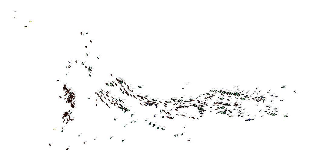
Metallogenic map of the South Portuguese Zone at a scale of 1 / 400,000, in which on the harmonized geological basis, with unified criteria between Spain and Portugal, the main metallic mineral occurrences located in the area have been represented, indicating their magnitude, substance and morphology. This cartography is a product resulting from the GEO_FPI project: GEO_FPI: cross-border observatory for the geo-economic evaluation of the Iberian Pyrite Belt, financed by the European Regional Development Fund (ERDF) within the program INTERREG V-A Spain– Portugal (POCTEP) 2014-2020. The main beneficiary of the project is the Geological Survey of Spain (IGME). Additionally, the General Directorate of Industry, Energy and Mines of the Ministry of Employment, Enterprise and Commerce of the Andalusian Government (JA) and the Portuguese National Laboratory for Energy and Geology (LNEG) and the Municipal Chamber of Aljustrel (CMA) are partners of the project.
-

Geological map of the South Portuguese Zone, at a scale of 1/400,000, in which the geological legend on both sides of the border has been harmonized, with unified criteria between Spain and Portugal. This cartography is a product resulting from the GEO_FPI project: GEO_FPI: cross-border observatory for the geo-economic evaluation of the Iberian Pyrite Belt, financed by the European Regional Development Fund (ERDF) within the program INTERREG V-A Spain– Portugal (POCTEP) 2014-2020. The main beneficiary of the project is the Geological Survey of Spain (IGME) . Additionally, the General Directorate of Industry, Energy and Mines of the Ministry of Employment, Enterprise and Commerce of the Andalusian Government (JA) and the Portuguese National Laboratory for Energy and Geology (LNEG) and the Municipal Chamber of Aljustrel (CMA) are partners of the project.
-

Metallogenic map of the South Portuguese Zone at a scale of 1 / 400,000, in which on the harmonized geological basis, with unified criteria between Spain and Portugal, the main metallic mineral occurrences located in the area have been represented, indicating their magnitude, substance and morphology. This cartography is a product resulting from the GEO_FPI project: GEO_FPI: cross-border observatory for the geo-economic evaluation of the Iberian Pyrite Belt, financed by the European Regional Development Fund (ERDF) within the program INTERREG V-A Spain– Portugal (POCTEP) 2014-2020. The main beneficiary of the project is the Geological Survey of Spain (IGME). Additionally, the General Directorate of Industry, Energy and Mines of the Ministry of Employment, Enterprise and Commerce of the Andalusian Government (JA) and the Portuguese National Laboratory for Energy and Geology (LNEG) and the Municipal Chamber of Aljustrel (CMA) are partners of the project.
-

Geological map of the South Portuguese Zone, at a scale of 1/400,000, in which the geological legend on both sides of the border has been harmonized, with unified criteria between Spain and Portugal. This cartography is a product resulting from the GEO_FPI project: GEO_FPI: cross-border observatory for the geo-economic evaluation of the Iberian Pyrite Belt, financed by the European Regional Development Fund (ERDF) within the program INTERREG V-A Spain– Portugal (POCTEP) 2014-2020. The main beneficiary of the project is the Geological Survey of Spain (IGME). Additionally, the General Directorate of Industry, Energy and Mines of the Ministry of Employment, Enterprise and Commerce of the Andalusian Government (JA) and the Portuguese National Laboratory for Energy and Geology (LNEG) and the Municipal Chamber of Aljustrel (CMA) are partners of the project.
-

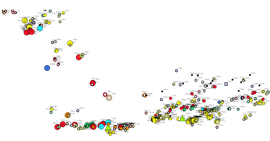
Rocks and industrial minerals map of the South Portuguese Zone in which on the harmonized geological base, with unified criteria between Spain and Portugal, the main non-metallic mineral occurrences and nonmetallic and industrial mineral mines in the area have been represented , indicating its status (active, abandoned or intermittent), size, use and substance. This cartography is a product resulting from the GEO_FPI project: GEO_FPI: cross-border observatory for the geo-economic evaluation of the Iberian Pyrite Belt, financed by the European Regional Development Fund (ERDF) within the program INTERREG V-A Spain– Portugal (POCTEP) 2014-2020. The main beneficiary of the project is the Geological Survey of Spain (IGME). Additionally, the General Directorate of Industry, Energy and Mines of the Ministry of Employment, Enterprise and Commerce of the Andalusian Government (JA) and the Portuguese National Laboratory for Energy and Geology (LNEG) and the Municipal Chamber of Aljustrel (CMA) are partners of the project.
-

Carta de Rochas e Minerais Industriais da Zona Sul Portuguesa, numa escala de 1/400.000, na qual, numa base geológica harmonizada, com critérios unificados entre Espanha e Portugal, foram representadas as principais explorações e indicações de rochas e minerais industriais da zona, com indicação do seu estado (activo, abandonado ou intermitente), dimensão, utilização e substância. Esta cartografia é um produto do projecto GEO_FPI: Observatório transfronteiriço para a exploração geoeconómica do Cinturão Pírita Ibérico, co-financiado por fundos FEDER através do programa de cooperação territorial INTERREG POCTEP 2014-2020. O principal beneficiário do projecto é o Instituto Geológico e Mineiro de Espanha (IGME), e a parceria deste projecto inclui a Direcção Geral da Indústria, Energia e Minas do Ministério das Finanças, Indústria e Energia do Governo Andaluz (DGIEM), o Laboratório Nacional de Energia e Geologia, I.P. (LNEG) e a Câmara Municipal de Aljustrel (CMA).
 Catalogo de metadatos del IGME