OGC (Open Geospatial Consortium)
Type of resources
Available actions
Provided by
Years
Formats
Update frequencies
status
Service types
-
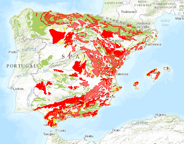
Map showing the geographical distribution of ground movements classified into four main groups: horizontal component in continental areas, vertical component in continental areas, unstable areas linked to coastal areas and movements related to mining operations. Also included are continental areas with important erosive processes.
-
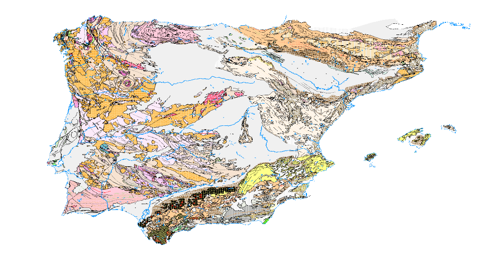
Visualisation service of the Tectonic Map in Spain at a scale of 1:1,000,000, of the Iberian Peninsula and Balearic Islands that identifies the major structural elements of the Earth's crust, and records the Earth's dynamism in the past.
-
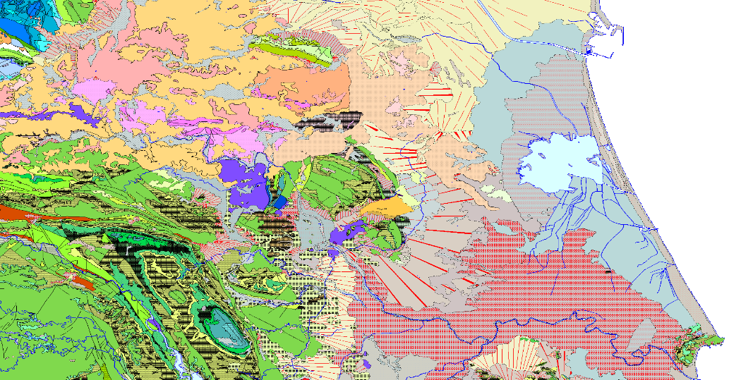
Visualisation Service (WMS) of the geological map which represents the result of the cartographic homogenisation of the MAGNA geological map series (National Geological Cartography at a scale of 1:50.000). Series that integrates 1143 maps. As a consequence of the long process involved in the historical execution of this series, there are differences between its initial and final phases, in terms of criteria for assigning geological units, level of detail, continuity of geological units and structures at the edges of sheets, coding and symbologies. With the aim of correcting these problems, the GEODE PLAN was initiated in 2004, which constitutes the institutional support for the generation of a continuous digital geological map at a scale of 1:50,000. The PLAN integrates 19 Regional Projects linked to their corresponding geological zones. Its fundamental objectives are threefold: - To provide cartographic continuity to the geological sheets of the MAGNA series within each region. - To generate a unified legend of geological units for each region. - To adapt the geological coverage to a uniform topographic base, generated specifically for the GEODE PLAN from the national topographic map 1:25000 of the IGN.
-
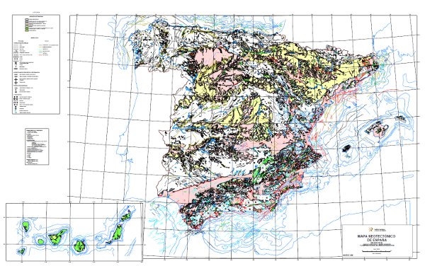
The Neotectonic Map expresses those structural, morphological, stratigraphic and other features that show relatively recent movements (from the period considered neotectonic), as well as the type of stress to which the peninsula is subjected. Its objectives are to identify deformations from the Middle Miocene - Upper Miocene boundary to the present day. The materials have been classified into six categories, two for volcanic materials differentiated by age; and four for the rest of the materials, with four subdivisions according to age. It also includes tectonic structures, stress and deformation directions, diapiric structures and other related phenomena, all with age expression. The map contains information on the Spanish continental shelf.
-
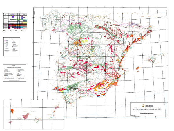
This map shows deposits dated as Plio-Pleistocene to contemporary, classified in 10 geochronological intervals and separated according to their genesis. Glacial, volcanic, karstic, aeolian, littoral, edaphic, palaeontological and prehistoric entities are included.
-
Web service for the discovery of spatial data sets and services based on the INSPIRE Catalogue profile (CSW ISO AP) that allows consultation of the metadata records of the NC Instituto Geológico y Minero de España (IGME)-CSIC.
-

Mapa con las unidades cronolitoestratigráficas de la provincia de Alicante acompañado de fallas y estructuras de plegamiento. Forma parte de una síntesis geológica unificada de la Comunidad Valenciana.
-
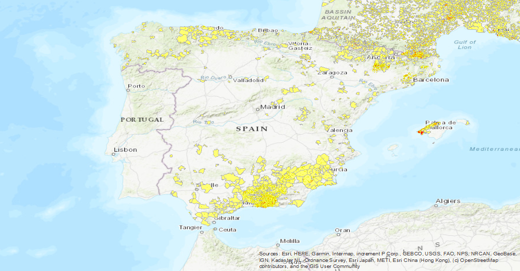
Visualisation service of the EGS Landslide Density Database Map. The first layer is a Landslide density map (LANDEN). The second layer is an average landslide density for each administrative area. A detailed explanation of these layers can be found in: Herrera, G., Mateos, R. M., García-Davalillo, J. C., Grandjean, G., Poyiadji, E., Maftei, R., ... and Trigila, A. (2017). Landslide databases in the Geological Surveys of Europe. Landslides, 1-21.https://doi.org/10.1007/s10346-017-0902-z.
-
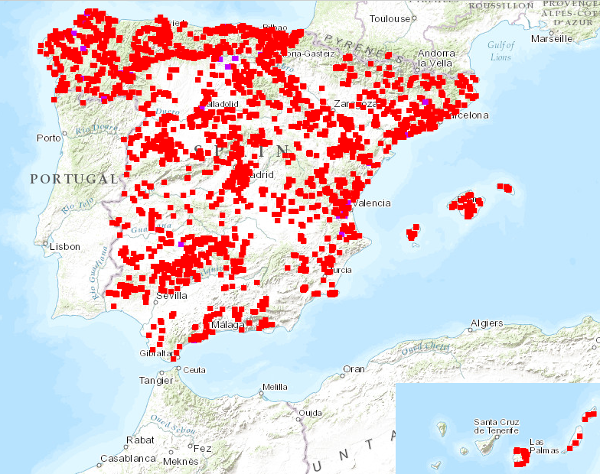
Visualisation service of the National Inventory of Mixed Type Trenches and Structures, with information on physical and geographical characteristics, type of mining, geological characteristics, impact on the environment, possibility of exploitation, etc. Information compiled up to 1989. The reference systems offered by this service are: CRS:84, EPSG:4326, EPSG:4258, EPSG:4230, EPSG:23028, EPSG:23029, EPSG:23030, EPSG:23031, EPSG:25828, EPSG:25829, EPSG:25830, EPSG:25831.
-
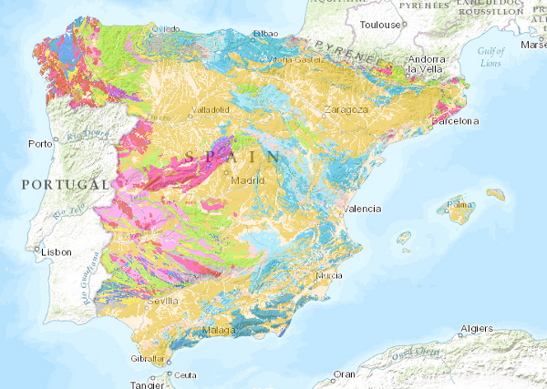
The lithological map at a scale of 1:1,000,000 has been obtained by assigning the most representative lithology or lithological association to each cartographic unit on the map. It has been based on the original classification of the edited map, which has been subsequently revised, giving rise to the current classification.
 Catalogo de metadatos del IGME