Mineral Resources
Type of resources
Available actions
Topics
Keywords
Contact for the resource
Provided by
Years
Representation types
Update frequencies
status
Service types
-

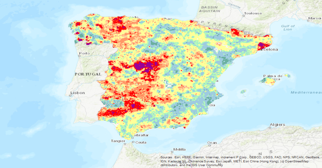
Iso-content maps of Lutetium (Lu), one of the chemical elements.obtained in the Geochemical Atlas of Spain Project, distributed in stream sediments (14,864 samples), superficial soils (0-20 cm.) (13,505 samples) and deeper soils (20-40 cm.) (7,682 samples). The results of the chemical analysis are shown in two types: total dissolution of the sample with 4 acids and partial dissolution with aqua regia. With the analytical results of all the sampled points, an isocontent map is made with adjustment to a square grid of 1,000 m by the method of interpolation of the inverse of the squared distance. The final result is a map for each type of sample and type of analysis carried out.
-

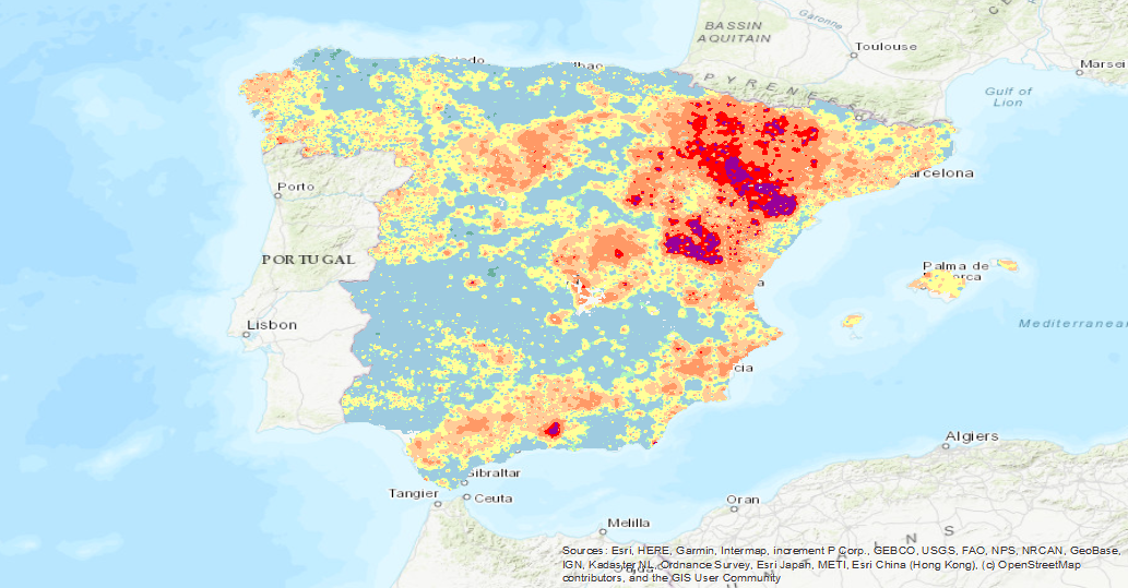
Iso-content maps of Tellurium (Te), one of the chemical elements.obtained in the Geochemical Atlas of Spain Project, distributed in stream sediments (14,864 samples), superficial soils (0-20 cm.) (13,505 samples) and deeper soils (20-40 cm.) (7,682 samples). The results of the chemical analysis are shown in two types: total dissolution of the sample with 4 acids and partial dissolution with aqua regia. With the analytical results of all the sampled points, an isocontent map is made with adjustment to a square grid of 1,000 m by the method of interpolation of the inverse of the squared distance. The final result is a map for each type of sample and type of analysis carried out.
-

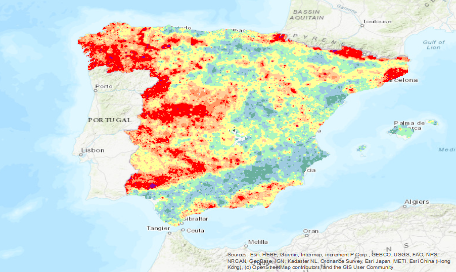
Iso-content maps of Aluminium (Al), one of the chemical elements.obtained in the Geochemical Atlas of Spain Project, distributed in stream sediments (14,864 samples), superficial soils (0-20 cm.) (13,505 samples) and deeper soils (20-40 cm.) (7,682 samples). The results of the chemical analysis are shown in two types: total dissolution of the sample with 4 acids and partial dissolution with aqua regia. With the analytical results of all the sampled points, an isocontent map is made with adjustment to a square grid of 1,000 m by the method of interpolation of the inverse of the squared distance. The final result is a map for each type of sample and type of analysis carried out.
-

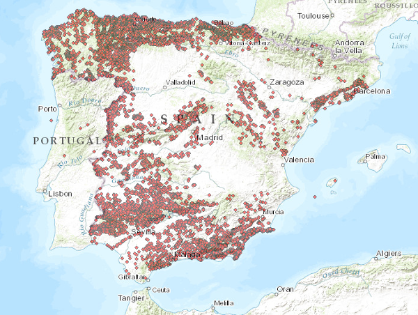
The service consists of two layers of dots symbolising the position of mineral occurrences for the entire national territory. Depending on the scale of visualisation, two layers of information have been created. Indications I: Only the location of the points is represented. Visible from scales smaller than 1:200.000. Indications II: The points are represented with a symbolisation according to different attributes. Visible from scales larger than 1:200,000. The reference systems offered by this service are:CRS:84, EPSG:4326, EPSG:4258, EPSG:4230, EPSG:23028, EPSG:23029, EPSG:23030, EPSG:23031, EPSG:25828, EPSG:25829, EPSG:25830, EPSG:25831
 Catalogo de metadatos del IGME