Geoscientific information
Type of resources
Available actions
Topics
Keywords
Contact for the resource
Provided by
Representation types
Update frequencies
status
Scale
-
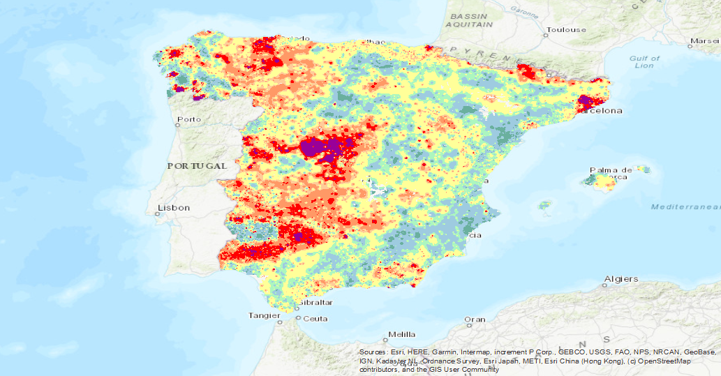
Iso-content maps of Lutetium (Lu), one of the chemical elements.obtained in the Geochemical Atlas of Spain Project, distributed in stream sediments (14,864 samples), superficial soils (0-20 cm.) (13,505 samples) and deeper soils (20-40 cm.) (7,682 samples). The results of the chemical analysis are shown in two types: total dissolution of the sample with 4 acids and partial dissolution with aqua regia. With the analytical results of all the sampled points, an isocontent map is made with adjustment to a square grid of 1,000 m by the method of interpolation of the inverse of the squared distance. The final result is a map for each type of sample and type of analysis carried out.
-
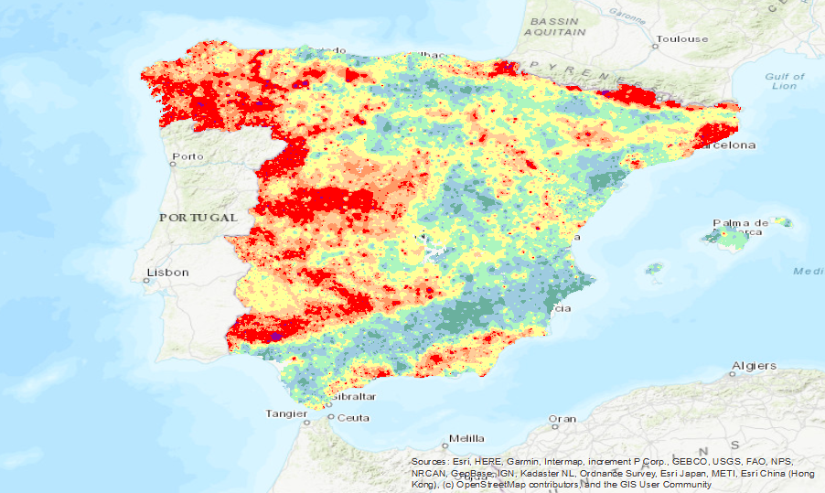
Iso-content maps of Aluminium (Al), one of the chemical elements.obtained in the Geochemical Atlas of Spain Project, distributed in stream sediments (14,864 samples), superficial soils (0-20 cm.) (13,505 samples) and deeper soils (20-40 cm.) (7,682 samples). The results of the chemical analysis are shown in two types: total dissolution of the sample with 4 acids and partial dissolution with aqua regia. With the analytical results of all the sampled points, an isocontent map is made with adjustment to a square grid of 1,000 m by the method of interpolation of the inverse of the squared distance. The final result is a map for each type of sample and type of analysis carried out.
-
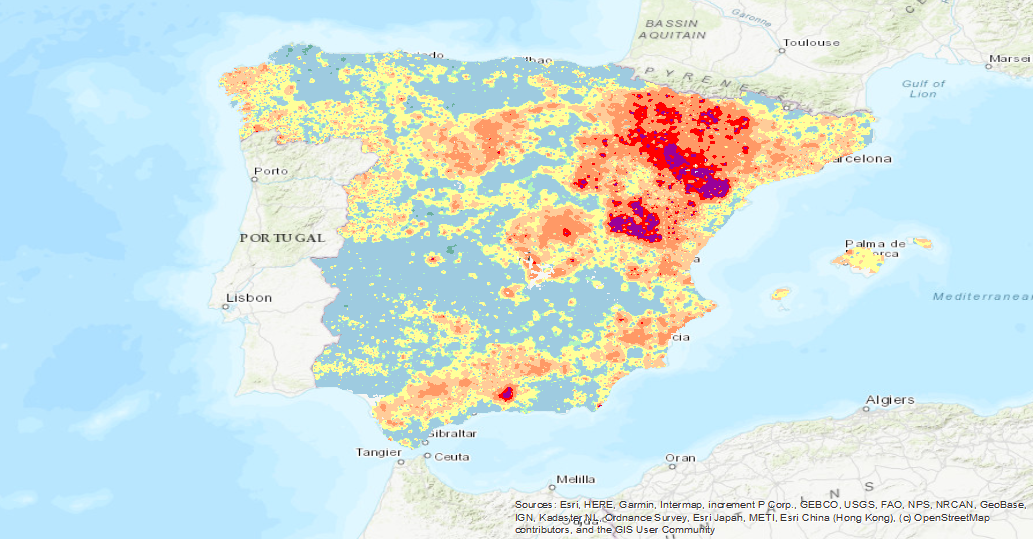
Iso-content maps of Tellurium (Te), one of the chemical elements.obtained in the Geochemical Atlas of Spain Project, distributed in stream sediments (14,864 samples), superficial soils (0-20 cm.) (13,505 samples) and deeper soils (20-40 cm.) (7,682 samples). The results of the chemical analysis are shown in two types: total dissolution of the sample with 4 acids and partial dissolution with aqua regia. With the analytical results of all the sampled points, an isocontent map is made with adjustment to a square grid of 1,000 m by the method of interpolation of the inverse of the squared distance. The final result is a map for each type of sample and type of analysis carried out.
-
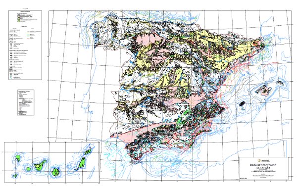
The Neotectonic Map expresses those structural, morphological, stratigraphic and other features that show relatively recent movements (from the period considered neotectonic), as well as the type of stress to which the peninsula is subjected. Its objectives are to identify deformations from the Middle Miocene - Upper Miocene boundary to the present day. The materials have been classified into six categories, two for volcanic materials differentiated by age; and four for the rest of the materials, with four subdivisions according to age. It also includes tectonic structures, stress and deformation directions, diapiric structures and other related phenomena, all with age expression. The map contains information on the Spanish continental shelf. This map, of national scope, has been produced by the Geological Survey of Spain in collaboration with the National Radioactive Waste Company (ENRESA).
-
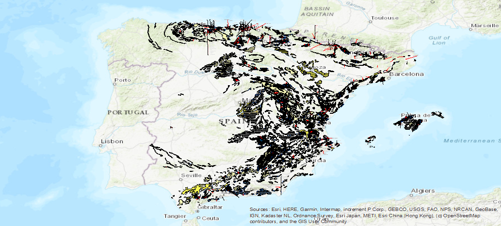
The Map of the Karst of Spain includes the different 'karstifiable' lithologies indicating their type (carbonates, gypsums and detritus), and the intensity of karstification in each of the areas. Also included are caves, poles, outcrops and other hydrogeological and geomorphological entities linked to karstification processes
 Catalogo de metadatos del IGME