1.3.0
Type of resources
Available actions
Keywords
Contact for the resource
Provided by
Years
Formats
status
Service types
-

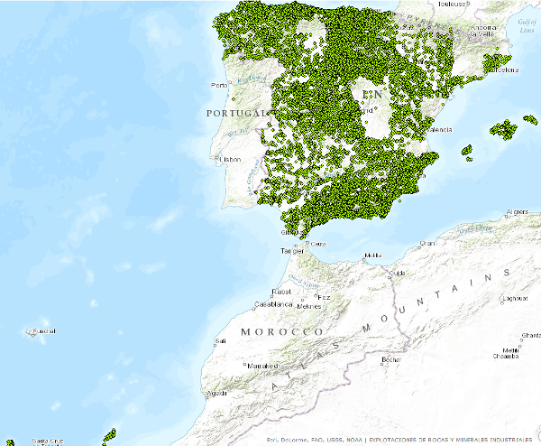
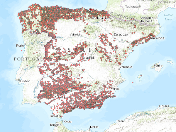
Points that symbolize the position of the indications or exploitations of Rocks and Industrial Minerals for all the national territory. Depending on the scale of visualization, two layers of points have been created. Exploitations I: represents only the location of the points. Visible from scales smaller than 1:200.000.Exploitations II: represents the location of the points with a symbolization according to different attributes. Visible from scales greater than 1:200,000. The reference systems offered by this service are: CRS:84, EPSG:4326, EPSG:4258, EPSG:4230, EPSG:23028, EPSG:23029, EPSG:23030, EPSG:23031, EPSG:25828, EPSG:25829, EPSG:25830, EPSG:25831.
-

El servicio se compone de dos capas de puntos que simbolizan la posición de los indicios minerales para todo el territorio nacional. En función de la escala de visualización se ha creado dos capas de información. Indicios I: Se representa tan sólo la localización de los puntos. Visible a partir de escalas menores de 1:200.000. Indicios II: Los puntos son representados con una simbolización en función de distintos atributos. Visible a partir de escalas mayores de 1:200.000.. Los sistemas de referencia que ofrece este servicio son:CRS:84, EPSG:4326, EPSG:4258, EPSG:4230, EPSG:23028, EPSG:23029, EPSG:23030, EPSG:23031, EPSG:25828, EPSG:25829, EPSG:25830, EPSG:25831.
 Catalogo de metadatos del IGME