 Catalogo de metadatos IGME-CSIC
WMS of the Hydrogeological Map of Spain at scale 1:200.000 of the Geological Survey of Spain (IGME-CSIC).
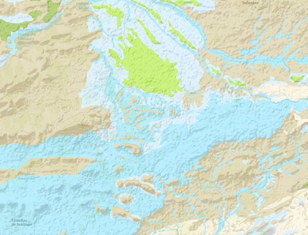
The continuous Hydrogeological Map of Spain in digital format at a scale of 1:200,000 is based on the Lithostratigraphic and Permeability Map of Spain, continuous at a scale of 1:200,000 and represents the mapped lithostratigraphic levels, grouped by range of permeability and the associated lithologies, and represented with a certain colour and tone, so that it is possible to visualise the areas associated with the different aquifers on the map. Blue colours represent porous aquifers, green colours represent fissured or karstic aquifers and brown colours represent impermeable or low permeability formations. Productivity is represented by tone, in the case of permeable formations, darker tones indicate higher productivity and in the case of impermeable formations indicate higher impermeability. Given the scale of detail of this cartography, the availability of the entire national territory, and the impossibility of appreciating the detail it possesses at small scales, the information is only visualised from the visualisation scale indicated in the Capabilities file.
Simple
Identification info
- Date (Creation)
- 2009-03-01
- Point of contact
-
Organisation name Individual name Electronic mail address Role Geological Survey of Spain (IGME-CSIC)
Point of contact Geological Survey of Spain (IGME-CSIC)
Custodian
-
ISO - 19119 geographic services taxonomy.
-
-
infoMapAccessService
-
Map access service
-
- Keywords
-
-
IGME
-
IDEE
-
ewater
-
Spain
-
-
Tesauro IGME
-
-
Physical and chemical properties
-
property
-
physical propertyI
-
permeability
-
Hydrology, Hydrogeology
-
hydrogeology
-
Hydrology, Hydrogeology
-
hydrogeology
-
- Keywords
-
-
EGDI
-
- Access constraints
- Other restrictions
- Other constraints
- No limitations on public access.
- Use constraints
- Other restrictions
- Other constraints
- No conditions apply
- Other constraints
-
It is not allowed to implement a non-free value-added service without contacting the IGME.
- Service Type
- view
))
- Coupling Type
- Tight
- Contains Operations
-
Operation Name Distributed Computing Platforms Connect Point GetCapabilities
Web services https://mapas.igme.es/gis/services/Cartografia_Tematica/IGME_Hidrogeologico_200/MapServer/WMSServer?REQUEST=GetCapabilities&SERVICE=WMS GetMap
Web services https://mapas.igme.es/gis/services/Cartografia_Tematica/IGME_Hidrogeologico_200/MapServer/WMSServer GetFeatureInfo
Web services https://mapas.igme.es/gis/services/Cartografia_Tematica/IGME_Hidrogeologico_200/MapServer/WMSServer
- Distribution format
-
- OnLine resource
-
Protocol Linkage Name OGC Web Map Service https://mapas.igme.es/gis/services/Cartografia_Tematica/IGME_Hidrogeologico_200/MapServer/WMSServer?Request=GetCapabilities&Service=WMS&Version=1.3.0 Visualisation service (WMS) of the Hydrogeological Map of Spain at scale 1:200.000
- Hierarchy level
- Service
- Other
-
Servicio de visualización
Conformance result
Conformance result
- Date (Publication)
- 2010-12-08
Citation identifier
- Explanation
- Not Conformant
- Pass
- No
Conformance result
- Date (Publication)
- 2008-12-04
Citation identifier
- Explanation
- Conformant
- Pass
- Yes
Metadata
- File identifier
- ESPIGMESERVICIOHIDROGEOLOGICO200CONTINUODIGITAL20110221637843 XML
- Metadata language
- Spanish; Castilian
- Hierarchy level
- Service
- Hierarchy level name
-
Servicio
- Date stamp
- 2025-05-09T05:37:45.037806Z
- Metadata standard name
-
Reglamento (CE) Nº 1205/2008 de INSPIRE
- Metadata standard version
-
TG 2.0
- Metadata author
-
Organisation name Individual name Electronic mail address Role Geological Survey of Spain (IGME-CSIC)
Leticia Vega Martín
Point of contact
- Other language
-
Language Character encoding English UTF8 Spanish; Castilian UTF8
)))